The majority of the air photos available in the GIC are vertical black and white prints with some colour photos (post 1970) available for selected areas. Some oblique air photos are available for selected areas in B.C. during the mid 1940s (part of the TRIMET coverage of BC at that time).
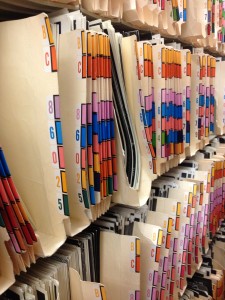
The standard format for a vertical air photograph, contact print is 25cm x 25cm (10″ x 10″). Each photo is cross referenced to an index map or flight report that indicates the exact flight path, flight altitude, date, and time of exposure. These air photographs are filed according to the air photo roll numbers and are located in the compact storage behind the reception area.
To find an air photo:
- First find the correct National Topographic System map for that area. Consult the N.T.S. index map for BC or the Gazetteer of B.C. to determine the correct number.
- Once you find the N.T.S. number, decide how much area you wish to cover, or what you wish to see from the air photo. If you require a large area consider looking for small or medium scale photos (i.e. 1:40,000 – 1:70,000 scale), this will cut down on the number of photos you will need to consult. If you require a small area with a lot of detail, go to the large scale indices (i.e. 1:10,000 – 1:20,000).
- Locate the correct book of N.T.S. flight index maps at the correct scale and then find the N.T.S. number you require.
- There are many copies of the same N.T.S. flight line index maps. The difference between the index sheets is the date of the air photos. Decide whether you require recent or historical air photos. The recent air photos are located on the most recent index map, the oldest on the earliest map in the sequence.
- Look at the index map, find your area and locate the nearest flight line to it. Select the flight line number (the B.C. or A number on that line e.g. BC86002) and determine the individual photo number BC86002:6. This flight line and photo number is the number required to find or order the air photo.
